I was in the S Styria, when I saw this small cloud...
I wasn't expecting much from a day that looked like this...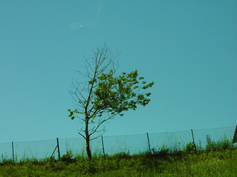
We drove N, and to our E (in the Burgenland), there was a towering thunderstorm.
But there wasn't much to see anywhere else.
Still in the S Styria, approaching Graz, I was thinking that "maybe after all it wasn't so bad"....
We arrived in Graz, and I was sure that it "wasn't so bad after all"....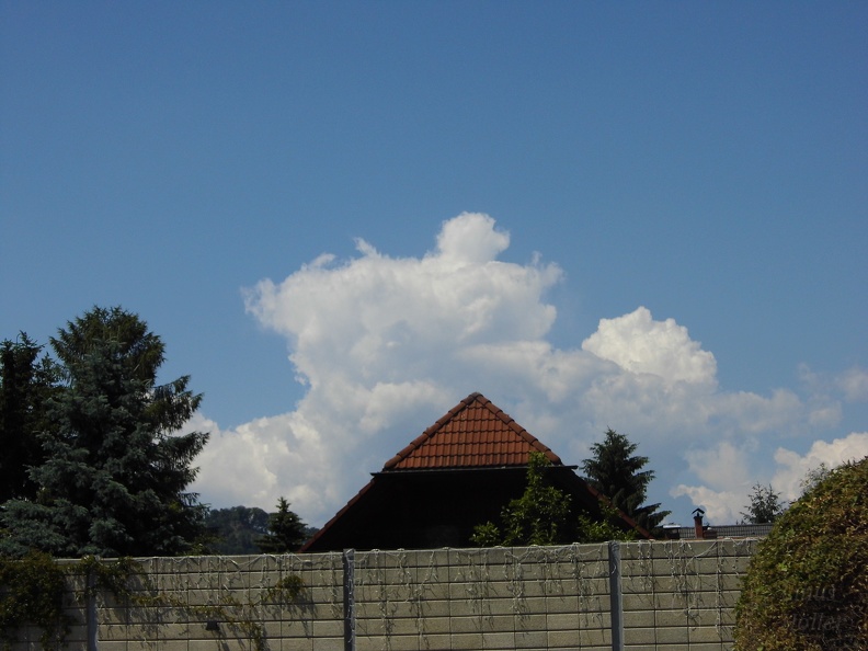
I waited half an hour, and the storm kept intensifying.
There was a flanking line forming W of the storm... the second largest "bump" will continue to grow while the one at the right dies, and so on.
Now the thunderstorm had an "ice umbrella". (The flat part to the right). This is created when the updraft hits the tropopause (where the temperature decrease with the altitude reverses, and therefore air can't continue rising). "Ice" because it is completely made of ice crystals.
The ice umbrella, 12km above the ground.
The W tower was now growing.
The tower turned into the main tower and reached great dimensions.
Does this remind anyone else of a lion cub?
Amazing.
The original thunderstorm was now dissipating, being blown appart by the intense wind at 12km.
Simply beautiful.
And a new tower is shooting up.
The ice umbrella of the 2nd tower, and in the background the thin ice layer of the original thunderstorm.
The thunderstorm was getting bigger and bigger, and gradually came closer and closer.
The thunderstorm was moving towards us.
Summer in Graz.
Mamatus clouds! Woohoo!
Closeup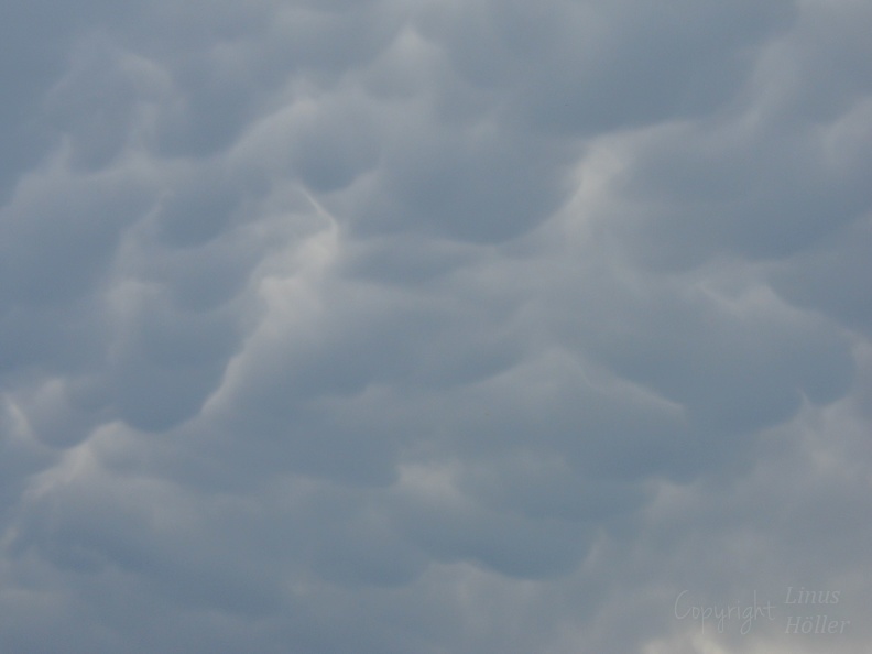
And a final picture.
X
Replies: 0 • Hits: 1.022
2014.06.07 - Pretty thunderstorm in the Styria (Chase)
Linus Höller - President of M.I.L.K. weather
- Linus

-
Posts: 2.140 Points: 1.549 Date registered 04.09.2012
Replies: 0 • Hits: 1.022
Current warnings

© M.I.L.K. 2017
M.I.L.K. - Meteorology: Information. Learning. Knowledge.


