Tomorrow a very dangerous "wintery" situation is to be expected in W Germany. This forecast is meant to give a brief overview of the situation expected tomorrow.
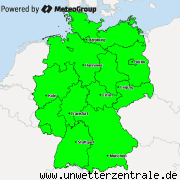
MILK has issued warning for Germany. See the map below. Especially in the W and SW the snowfall is expected to be extreme.
018_Warning.png - Bild entfernt (keine Rechte)
Over the day, the low pressure area will move into Germany, causing most intense snow in the morning, however at that time still having mainly rain in it's precipitation bands. During the day, the intensity of the snow will decrease, however the rain the rain will turn mainly into snow. Here the comparison in the forecast maps:
002_00UTC.png - Bild entfernt (keine Rechte)
00UTC map. GFS.
009_21UTC.png - Bild entfernt (keine Rechte)
21UTC map. GFS.
The maps above show the type and intensity of the precipitation forecast on a map of central Europe.
The cause for this wild weather is the low pressure area "Hiltrud", which is currently still located of the British islands.
014_Hiltrud Sat.gif - Bild entfernt (keine Rechte)
However, the core of the low will move right over Germany tomorrow.
010_Hiltrud.png - Bild entfernt (keine Rechte)
21UTC forecast map. GFS
The total amounts of snow that will fall are quite significant, as can be seen in this map:
011_Accum-snow-36h.gif - Bild entfernt (keine Rechte)
Snowfall within 36 hours from 12UTC today
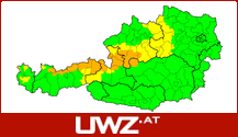
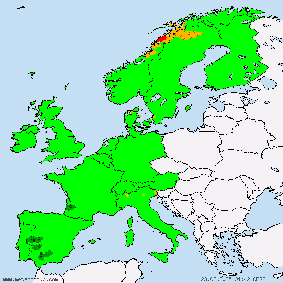
The German weather service and MeteoGroup have both also already issued warnings regarding the winter storm. See below:
015_UWZwarningsevening.png - Bild entfernt (keine Rechte)
MeteoGroup
016_DWDwarningsevening.gif - Bild entfernt (keine Rechte)
DWD
X
Replies: 0 • Hits: 939
2014.12.26 - Sudden winter in W Germany forecast for tomorrow
Linus Höller - President of M.I.L.K. weather
- Linus

-
Posts: 2.140 Points: 1.549 Date registered 04.09.2012
Replies: 0 • Hits: 939
Current warnings


© M.I.L.K. 2017
M.I.L.K. - Meteorology: Information. Learning. Knowledge.


