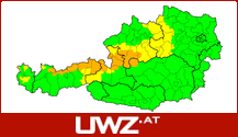
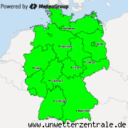
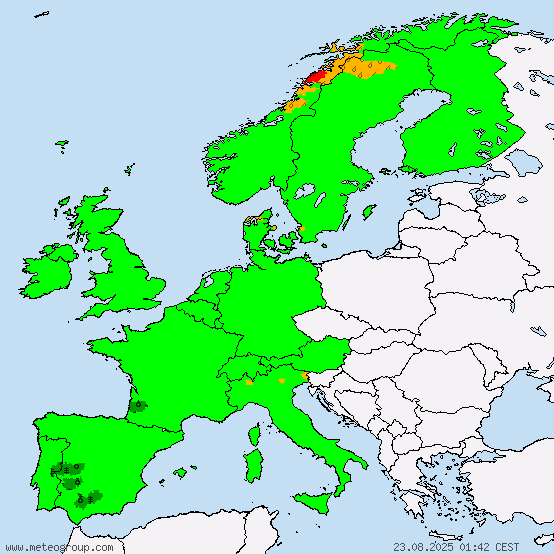
The rain front that started moving into Germany yesterday afternoon/evening will continue to move ESE, bringing partly moderate rain to Germany, drizzle to the lower and light snow to the higher lands of Switzerland. Later during the day, the rain will intensify in front and in valleys of the Austrian Alps, on the mountains it will snow. The rain will also intensify within a few hours in Sachsen. Behind the front currently there is a dry sector, around 300km wide, before rain showers occur. However, cold fronts are always faster than warm fronts, and therefore later in the day it will go straight from rain to showers, in the afternoon partly thunderstorms in Germany. From noon on the showers are expected to be thundery in Germany. In the evening extreme snow fall is expected in the Alps of W Austria and E Switzerland.
In Sachsen precipitation can exceed 20lm˛, in S Austria there could be even more than 40lm˛.
In Austria, the temperatures will range from -16°C in the Alps of Tyrol to 4°C in the far E in the morning. The maximum temperatures will be between -0°C in the Alps of Tyrol and 18°C in the far NE, E and SE.
In Germany, the temperatures in the morning will be between -2°C in the far SE Alps and 8°C at the coast of the North Sea. The maximum temperatures will be between 7°C in S and central Germany and 13°C in the far W.
In Switzerland, the temperatures in the morning will be between -14°C in the Alps and 5°C in the far NW, the maximum temperatures between -0°C in the Alps and 10°C in the lower areas.
In all of central Europe, the wind will blow from NW-erly directions. Gusts of 7bft are to be expected in the morning hours at the North Sea coast.
Along the front it will beginn to be cloudy; in the field of showers that follows the front it will stay quite cloudy until the night, when the convection therefore ends and these showers clouds die. Only far E Austria (Burgenland, E Vienna and far E Niederösterreich) will stay mostly clear of clouds. Convective clouds are mainly expected in N and central Germany. However, convective clouds are to be expected in Switzerland as well and in Austria there might be some local thunderstorms.
By all available sources, thunderstorms are possible today in N and central Germany. Local thunderstorms outside of this area, however, are possible as well.
Overall an interesting day with a cold front chasing a weakening warm front, both moving in from teh NW towards the ESE.
X
Replies: 0 • Hits: 812
2014.04.18 - Weather for Central Europe
Linus Hoeller - President of M.I.L.K. weather
- Linus

-
Posts: 2.140 Points: 1.549 Date registered 04.09.2012
Replies: 0 • Hits: 812
Current warnings


© M.I.L.K. 2017
M.I.L.K. - Meteorology: Information. Learning. Knowledge.


